 "Jcarr" (jcarr)
01/03/2017 at 14:51 ē Filed to: None
 3
3
 12
12
 "Jcarr" (jcarr)
01/03/2017 at 14:51 ē Filed to: None |  3 3
|  12 12 |
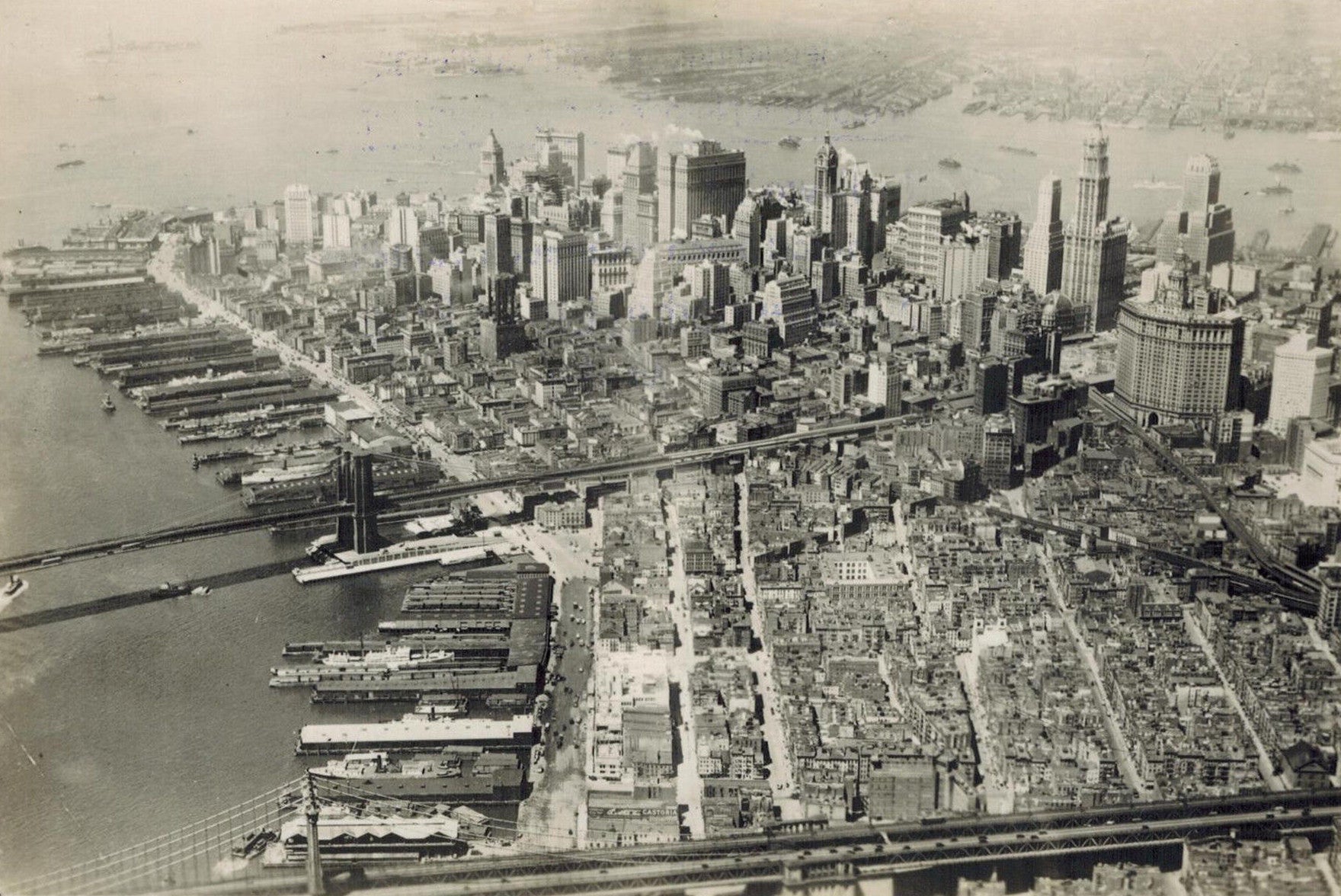
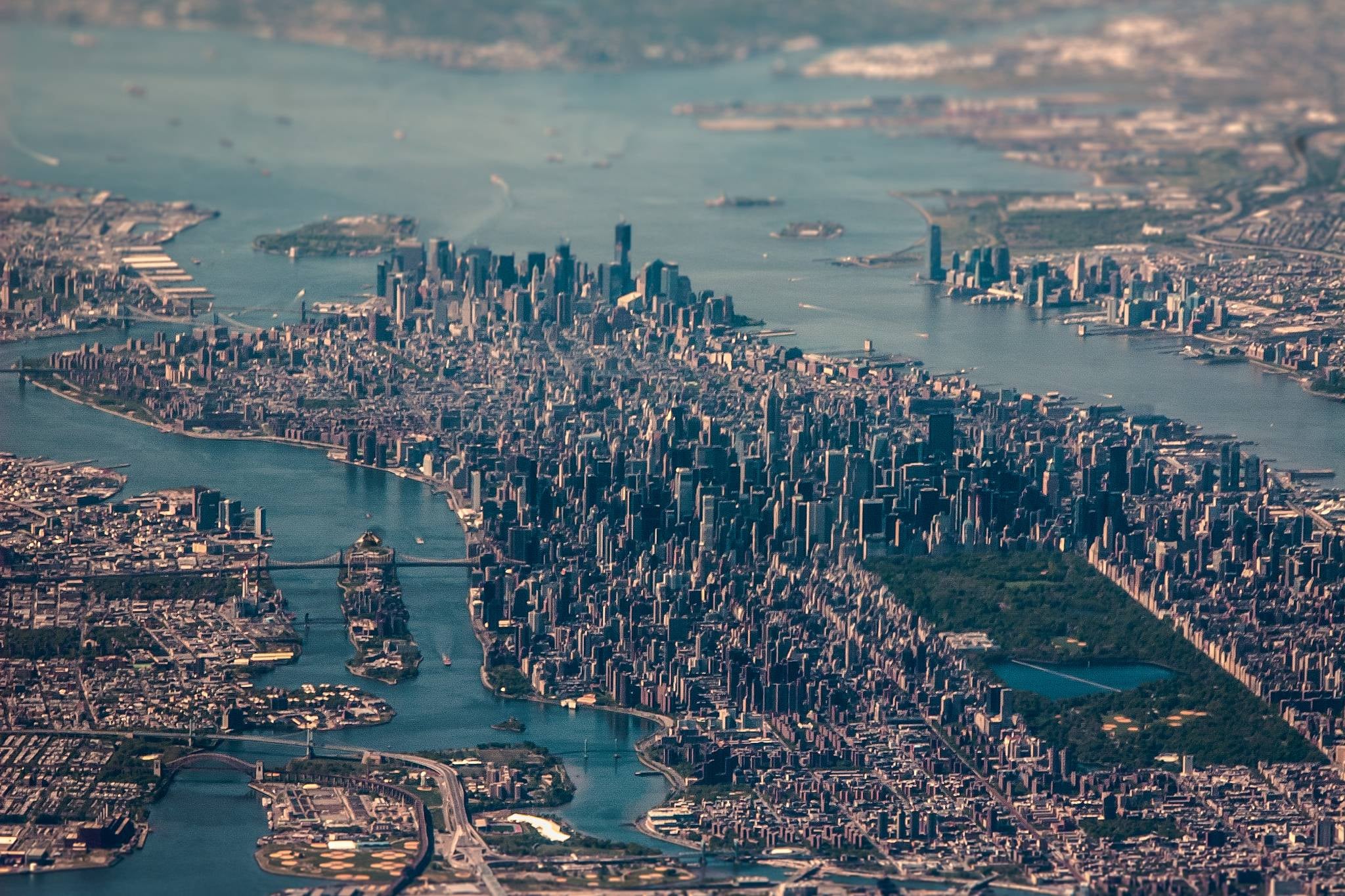
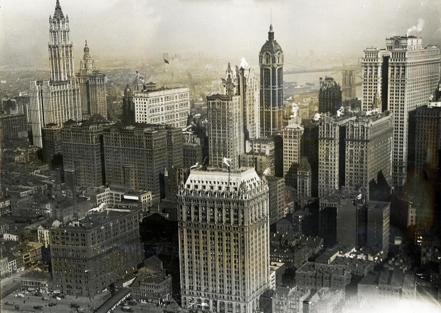
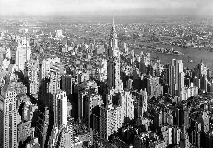
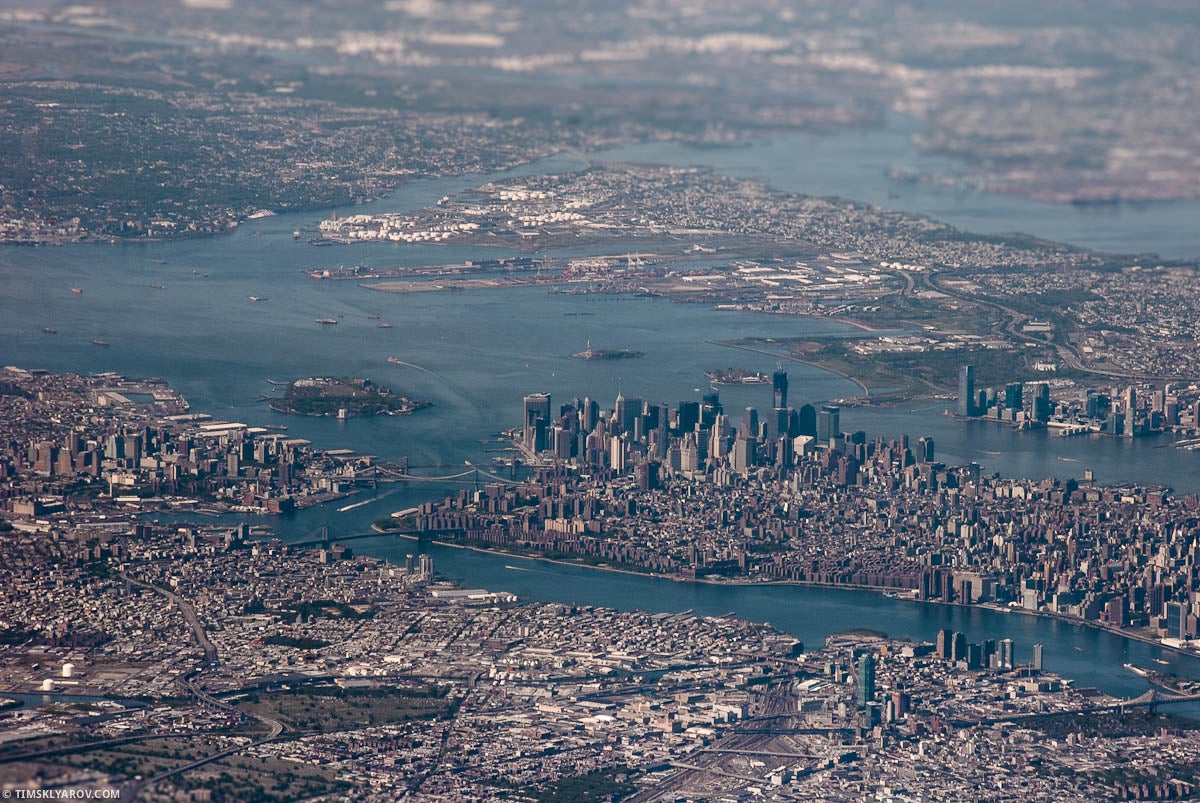
Here are some of New York.
 RamblinRover Luxury-Yacht
> Jcarr
01/03/2017 at 14:54 |
|
DAMMIT I TOLD YOU NOT TO DECREASE THE RANGE ON THE 3D BAR GRAPH
 norskracer98-ExploringTheOutback
> Jcarr
01/03/2017 at 14:55 |
|

This is a 100 year old picture of my town.
 Smallbear wants a modern Syclone, local Maple Leafs spammer
> Jcarr
01/03/2017 at 14:58 |
|
Toronto has historical aerial photo archives on itís website. PDC, if you live here...
 TheHondaBro
> Jcarr
01/03/2017 at 15:00 |
|
Hereís an old photo of New New York:

 Jcarr
> Smallbear wants a modern Syclone, local Maple Leafs spammer
01/03/2017 at 15:01 |
|
Thatís awesome
 Jcarr
> TheHondaBro
01/03/2017 at 15:03 |
|
Recent shot:

 The Ghost of Oppo
> Jcarr
01/03/2017 at 15:04 |
|
The second one looks like a miniature†
 norskracer98-ExploringTheOutback
> norskracer98-ExploringTheOutback
01/03/2017 at 15:10 |
|
Most the older buildings on the left side (west) of the picture are still there but I believe most of the ones on the east side (right) are gone and replaced now.
 My X-type is too a real Jaguar
> Jcarr
01/03/2017 at 15:33 |
|
Iím currently scanning 100os of old family slides, some of them are fascinating
 StingrayJake
> Jcarr
01/03/2017 at 16:03 |
|
I have the GTA IV map of Liberty City so burned into my brain that Iím occasionally shocked at the size of NYC when I see pictures/maps.
 My X-type is too a real Jaguar
> My X-type is too a real Jaguar
01/03/2017 at 16:19 |
|
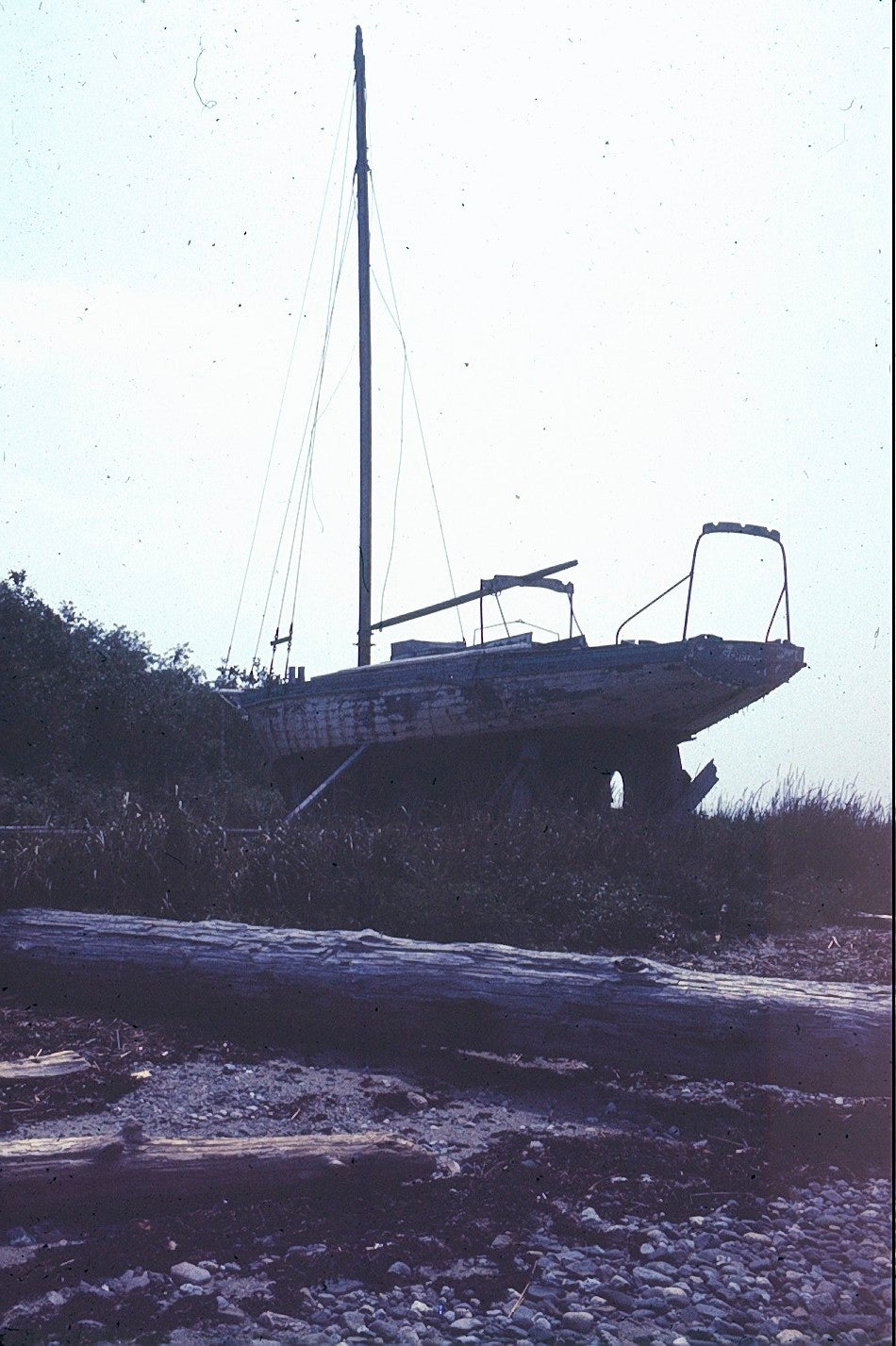
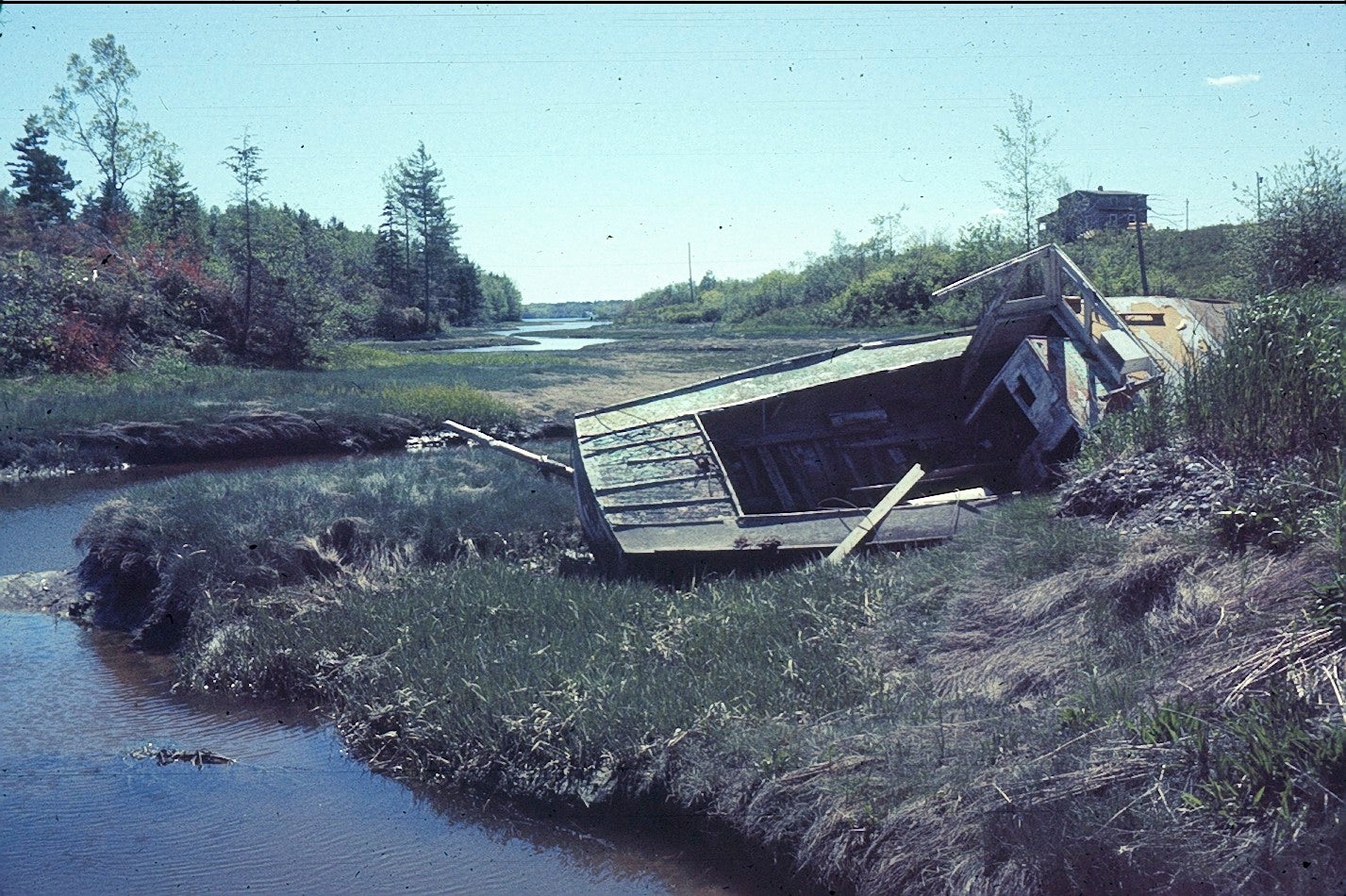
My father liked taking pictures of abandoned boats on the coast in the 60s
 facw
> Jcarr
01/03/2017 at 16:25 |
|
On a related note, New York City has old aerial maps (older than what Google Earth gives you): http://maps.nyc.gov/doitt/nycitymap/
Select Map Type and you can pick from Ď24 or Ď51 (plus some newer ones).